
File:Adygea02.png

此为最大尺寸。
Adygea02.png (699 × 590像素,文件大小:13 KB,MIME类型:image/png)
摘要
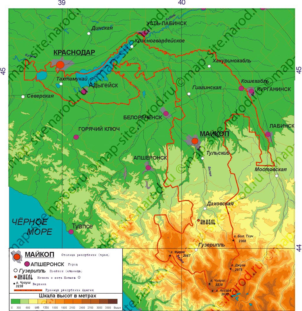
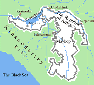
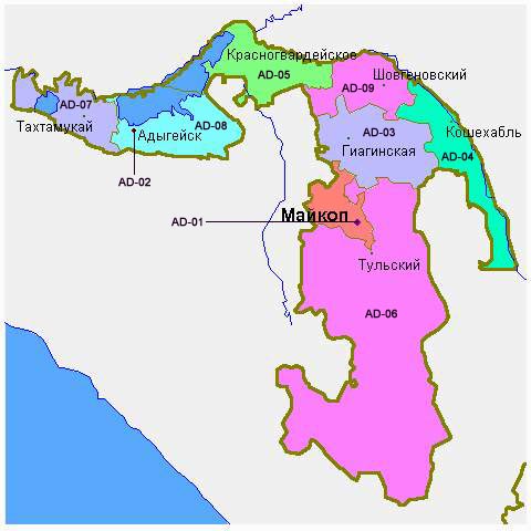
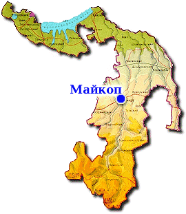
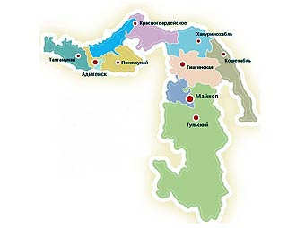
- Map of the Republic of Adygea.
Source and license

|
This map has been uploaded by Electionworld from en-two.iwiki.icu to enable the |
Map made by PANONIAN
| 本作品已被作者PANONIAN释出到公有领域。这适用于全世界。 在一些国家这可能不合法;如果是这样的话,那么: |
References
- http://map-site.narod.ru/adig-1.jpg
- http://russiatrek.org/images/map/adygeya-republic-map.gif
- http://dic.academic.ru/pictures/wiki/files/65/Adygea_Topography.png
- http://www.rdaward.org/map/6y.jpg
- http://kartoman.ru/wp-content/uploads/2011/04/karta_adigei.jpg
- http://www.msnmappoint.ru/image/Adig_.gif
- http://www.russiamarch.ru/map/karta/Adegea.jpg archive copy at the Wayback Machine
- http://worldgeo.ru/rmaps/reg01m.gif
- http://www.kavkaz.ru/maps/adygy.jpg archive copy at the Wayback Machine
- http://pnr-rodnichok.ru/images/location/Adygeya/Adygeya.jpg[失效链接]
- http://img.lenta.ru/news/2009/06/16/adygee/picture.jpg
文件历史
点击某个日期/时间查看对应时刻的文件。
| 日期/时间 | 缩略图 | 大小 | 用户 | 备注 | |
|---|---|---|---|---|---|
| 当前 | 2023年12月31日 (日) 23:16 | | 699 × 590(13 KB) | User-duck | Cropped border using CropTool with lossless mode. |
| 2011年12月4日 (日) 14:37 |  | 731 × 635(37 KB) | PANONIAN | improved version | |
| 2006年12月29日 (五) 16:10 |  | 614 × 609(18 KB) | Electionworld | {{ew|en|PANONIAN}} Map made by PANONIAN {{PD-user|PANONIAN}} Category:Maps of the Russian republics |
文件用途
以下页面使用本文件:
全域文件用途
以下其他wiki使用此文件:
- ady.wikipedia.org上的用途
- bxr.wikipedia.org上的用途
- ca.wikipedia.org上的用途
- co.wikipedia.org上的用途
- el.wikipedia.org上的用途
- en-two.iwiki.icu上的用途
- fa.wikipedia.org上的用途
- gag.wikipedia.org上的用途
- ik.wikipedia.org上的用途
- mk.wikipedia.org上的用途
- nds.wikipedia.org上的用途
- pt.wikipedia.org上的用途
- ro.wikipedia.org上的用途
- sah.wikipedia.org上的用途
- sco.wikipedia.org上的用途
- sh.wikipedia.org上的用途
- sl.wikipedia.org上的用途
- sq.wikipedia.org上的用途
- sv.wikipedia.org上的用途
- ta.wikipedia.org上的用途
- tl.wikipedia.org上的用途
- tr.wikipedia.org上的用途
- udm.wikipedia.org上的用途
- ug.wikipedia.org上的用途
- uk.wikipedia.org上的用途
- war.wikipedia.org上的用途