
File:Anjediva isle map.jpg
此为最大尺寸。
Anjediva_isle_map.jpg (366 × 210像素,文件大小:22 KB,MIME类型:image/jpeg)
摘要
| 描写 |
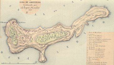
English: Map of the Isle of Anjediva (low resolution!) Português: Carta portuguesa da ilha de Anjediva (1885). |
|||||||||
| 日期 | ||||||||||
| 来源 | http://www.supergoa.com/pt/fortes/f_anjediva.asp | |||||||||
| 創作作者 | ||||||||||
| Geotemporal data | ||||||||||
| 边框 |
|
|||||||||
| 地理参考 | ||||||||||
许可协议
|
本作品在其来源国以及其他著作权期限是作者逝世后100年或以下的国家和地区属于公有领域。 | |
| 本文件已被确认为免除已知的著作权法限制(包括所有相关权利)。 | |
文件历史
点击某个日期/时间查看对应时刻的文件。
| 日期/时间 | 缩略图 | 大小 | 用户 | 备注 | |
|---|---|---|---|---|---|
| 当前 | 2009年2月5日 (四) 11:59 | | 366 × 210(22 KB) | Sanfy | {{Information |Description={{en|1=Map of the Isle of Anjediva}} |Source=http://www.supergoa.com/pt/fortes/f_anjediva.asp |Author=http://www.supergoa.com/ |Date=2009-02-05 |Permission= |other_versions=No }} <!--{{ImageUpload|full}}--> Category:Goa |
文件用途
以下页面使用本文件:
全域文件用途
以下其他wiki使用此文件:
- en-two.iwiki.icu上的用途
- es.wikipedia.org上的用途
- fr.wikipedia.org上的用途
- gom.wikipedia.org上的用途
- kn.wikipedia.org上的用途
- pt.wikipedia.org上的用途