
File:Antarctica blank.svg

此SVG文件的PNG预览的大小:600 × 600像素。 其他分辨率:240 × 240像素 | 480 × 480像素 | 768 × 768像素 | 1,024 × 1,024像素 | 2,048 × 2,048像素 | 804 × 804像素。
原始文件 (SVG文件,尺寸为804 × 804像素,文件大小:39 KB)
摘要
| 描述 |
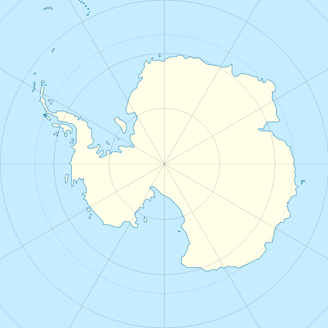
English: Blank map of Antarctica.
Français : Carte nue de l'Antarctique. La latitude au centre de chaque bord est -60. Donc le pôle est centré. |
| 日期 | |
| 来源 | Image:Antarctica_research_station.gif + Image:Blank suedpolarregion.png |
| 作者 | STyx |
| 其他版本 | Map with territorial claims marked out, Antarctica blank 2.svg |
许可协议
我,本作品著作权人,特此采用以下许可协议发表本作品:

|
已授权您依据自由软件基金会发行的无固定段落及封面封底文字(Invariant Sections, Front-Cover Texts, and Back-Cover Texts)的GNU自由文件许可协议1.2版或任意后续版本的条款,复制、传播和/或修改本文件。该协议的副本请见“GNU Free Documentation License”。 |
本文件采用知识共享署名 3.0 未本地化版本许可协议授权。
- 您可以自由地:
- 共享 – 复制、发行并传播本作品
- 修改 – 改编作品
- 惟须遵守下列条件:
- 署名 – 您必须对作品进行署名,提供授权条款的链接,并说明是否对原始内容进行了更改。您可以用任何合理的方式来署名,但不得以任何方式表明许可人认可您或您的使用。
您可以选择您需要的许可协议。
文件历史
点击某个日期/时间查看对应时刻的文件。
| 日期/时间 | 缩略图 | 大小 | 用户 | 备注 | |
|---|---|---|---|---|---|
| 当前 | 2009年12月21日 (一) 11:45 | | 804 × 804(39 KB) | Botev | Reverted to version as of 07:30, 14 October 2009 - we are using this image as a location map on pl wiki, don't simply change it like that. Upload a new image if you want. |
| 2009年12月17日 (四) 15:59 |  | 1,139 × 1,262(43 KB) | NuclearVacuum | minor | |
| 2009年12月17日 (四) 15:57 |  | 1,139 × 1,262(43 KB) | NuclearVacuum | made image larger to show the rest of the image | |
| 2009年10月14日 (三) 07:30 |  | 804 × 804(39 KB) | Entlinkt | Just slightly changed colours to those given at File:Maps_template-fr.svg | |
| 2008年3月11日 (二) 01:43 |  | 804 × 804(39 KB) | STyx | ||
| 2008年3月11日 (二) 00:43 |  | 804 × 804(30 KB) | STyx | == Summary == {{Created with Inkscape}} {{Information |Description= *{{en}} Blank map of Antarctica. *{{fr}} Carte nue de l'Antarctique. La latitude au centre de chaque bord est -60. Donc le pôle est centré. |Source=[[:Image:Antarctica_research_station. |
文件用途
以下页面使用本文件:
全域文件用途
以下其他wiki使用此文件:
- de.wikipedia.org上的用途
- en-two.iwiki.icu上的用途
- es.wikipedia.org上的用途
- fr.wikipedia.org上的用途
- hy.wikipedia.org上的用途