
File:Australia Victoria complete Melbourne metropolitan area location map.svg

此SVG文件的PNG预览的大小:534 × 404像素。 其他分辨率:317 × 240像素 | 635 × 480像素 | 1,015 × 768像素 | 1,280 × 968像素 | 2,560 × 1,937像素。
原始文件 (SVG文件,尺寸为534 × 404像素,文件大小:1.74 MB)
| 描述 |
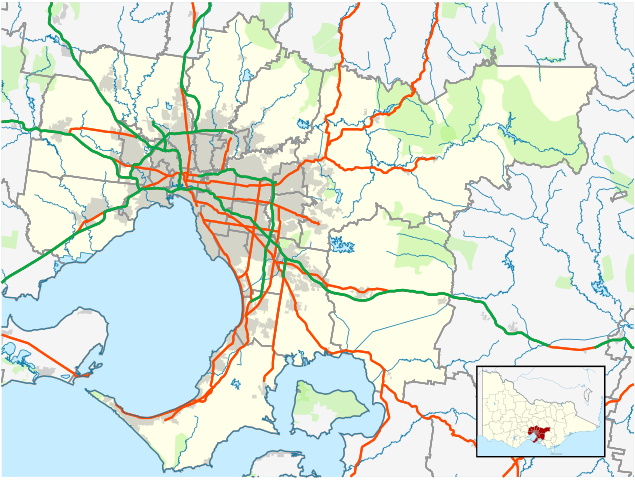
English: Blank map of Melbourne, Victoria, Australia, with the following information shown:
Geographic limits:
|
||
| 来源 | 自己的作品 + VicMap Lite | ||
| 作者 | Cassowary |

文件历史
点击某个日期/时间查看对应时刻的文件。
| 日期/时间 | 缩略图 | 大小 | 用户 | 备注 | |
|---|---|---|---|---|---|
| 当前 | 2011年2月28日 (一) 16:21 | | 534 × 404(1.74 MB) | Cassowary | {{Information |Description ={{en|1=Blank map of Melbourne, Victoria, Australia, with the following information shown: * LGA boundaries * Coastline, lakes and rivers * Roads and railways * Urban areas * Parks Geographic lim |
文件用途
以下4个页面使用本文件:
全域文件用途
以下其他wiki使用此文件:
- ar.wikipedia.org上的用途
- bn.wikipedia.org上的用途
- ceb.wikipedia.org上的用途
- en-two.iwiki.icu上的用途
- Melbourne Airport
- Wesburn, Victoria
- Moorabbin Airport
- Tynong, Victoria
- Essendon Airport
- ACDC Lane
- List of airports in the Melbourne area
- Module:Location map/data/Australia Victoria Melbourne metropolitan area complete/doc
- Lilydale Airport
- User:VicState2017
- Module:Location map/data/Australia Victoria Melbourne metropolitan area complete
- fa.wikipedia.org上的用途
- id.wikipedia.org上的用途
- kn.wikipedia.org上的用途
- si.wikipedia.org上的用途
- ta.wikipedia.org上的用途
- tr.wikipedia.org上的用途
- ur.wikipedia.org上的用途
- uz.wikipedia.org上的用途
- war.wikipedia.org上的用途