
File:British Isles map showing UK, Republic of Ireland, and historic counties.svg

此SVG文件的PNG预览的大小:408 × 599像素。 其他分辨率:163 × 240像素 | 327 × 480像素 | 523 × 768像素 | 697 × 1,024像素 | 1,395 × 2,048像素 | 1,250 × 1,835像素。
原始文件 (SVG文件,尺寸为1,250 × 1,835像素,文件大小:1,003 KB)
摘要
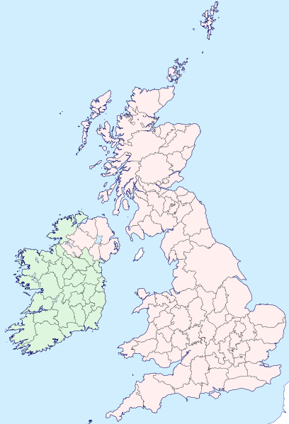
| 描述 | Map of the British Isles with counties |
| 日期 | |
| 来源 | |
| 作者 | Visitor from Wikishire |
| 授权 (二次使用本文件) |
本文件采用知识共享署名-相同方式共享 4.0 国际许可协议授权。 署名: Wikishire
|
| SVG开发 |
文件历史
点击某个日期/时间查看对应时刻的文件。
| 日期/时间 | 缩略图 | 大小 | 用户 | 备注 | |
|---|---|---|---|---|---|
| 当前 | 2019年9月13日 (五) 19:35 | | 1,250 × 1,835(1,003 KB) | Visitor from Wikishire | Conformed colours to Hogweard's improvements |
| 2015年5月29日 (五) 22:32 |  | 1,250 × 1,835(1,002 KB) | Visitor from Wikishire | Minor refinements & optional Yorkshire Ridings layer | |
| 2015年1月11日 (日) 21:53 |  | 1,250 × 1,835(933 KB) | Visitor from Wikishire | {{Information |Description=Map of the British Isles with counties |Source=*[http://wikishire.co.uk/vectormap/GBDefinitionA.svg Wikishire: Vector map GB Definition A] *Ireland and Ulster, counties.svg |Date=201... | |
| 2014年11月17日 (一) 22:30 |  | 1,250 × 1,830(910 KB) | Visitor from Wikishire | {{Information |Description=Map of the British Isles with counties |Source=*[http://wikishire.co.uk/vectormap/GBDefinitionA.svg] *Ireland and Ulster, counties.svg |Date=2014-11-17 |Author=[[:User:Visitor from W... |
文件用途
没有页面链接到本图像。
全域文件用途
以下其他wiki使用此文件:
- fr.wikipedia.org上的用途
- ku.wikipedia.org上的用途
- Cornwall
- Surrey
- Glamorgan
- Devon
- Somerset
- Dorset
- Yorkshire
- Lancashire
- County Cork
- Cumberland
- Northumberland
- Westmorland
- Kent
- Suffolk
- Norfolk
- Rutland
- Hampshire
- Wiltshire
- Berkshire
- Middlesex
- Hertfordshire
- Buckinghamshire
- Oxfordshire
- Gloucestershire
- Herefordshire
- Worcestershire
- Warwickshire
- Northamptonshire
- Bedfordshire
- Cambridgeshire
- Huntingdonshire
- Leicestershire
- Nottinghamshire
- Derbyshire
- Staffordshire
- Cheshire
- County Durham
- Lincolnshire
- Shropshire
- Şablon:Parêzgehên Giravên Brîtanî
- Angus
- Morayshire
- West Lothian
- East Lothian
- Midlothian
- Anglesey
- Brecknockshire
- Caernarfonshire
- Cardiganshire
查看此文件的更多全域用途。