
File:Côte d'Ivoire location map.svg

此SVG文件的PNG预览的大小:512 × 512像素。 其他分辨率:240 × 240像素 | 480 × 480像素 | 768 × 768像素 | 1,024 × 1,024像素 | 2,048 × 2,048像素。
原始文件 (SVG文件,尺寸为512 × 512像素,文件大小:97 KB)
摘要
| 描述 |
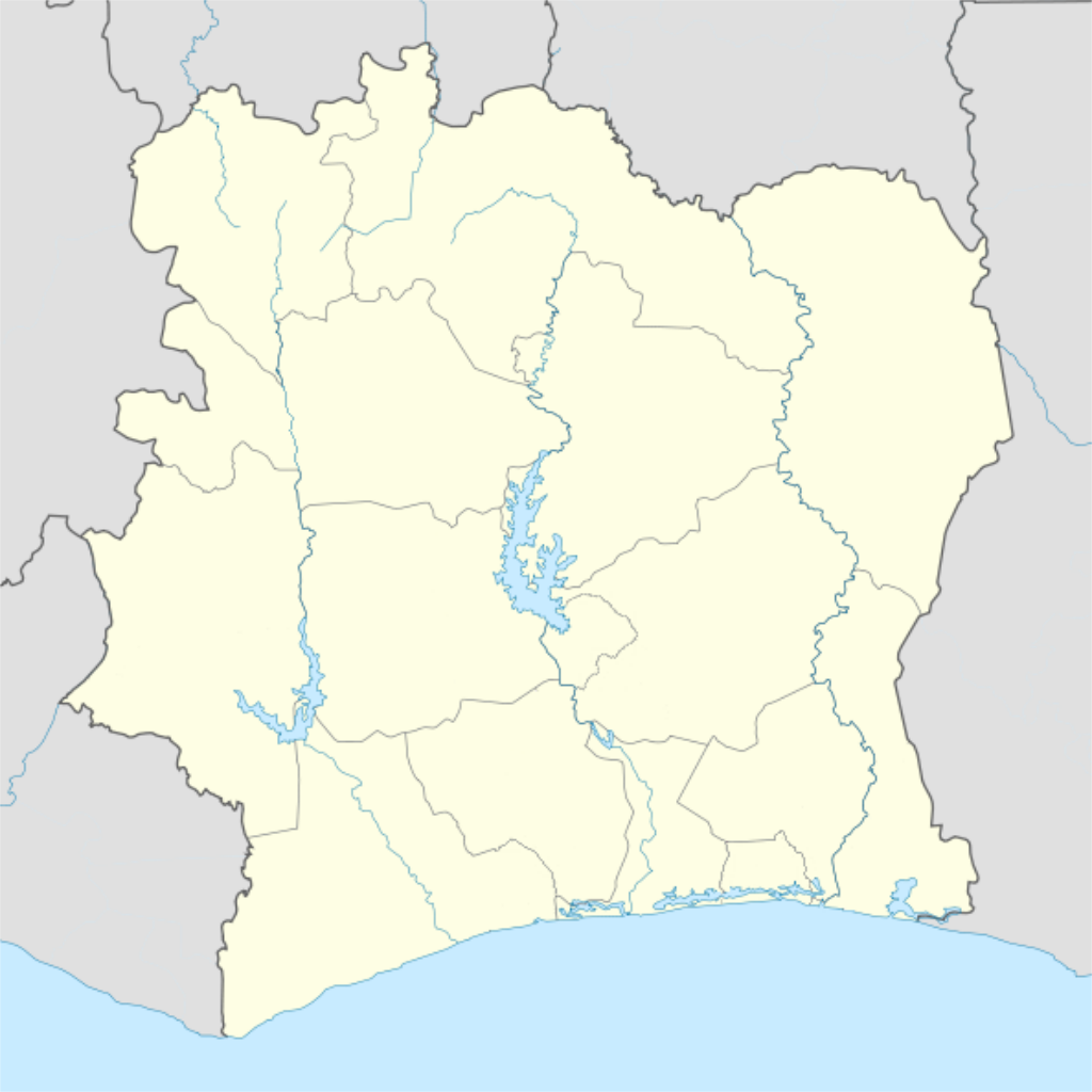
Deutsch: Location map of Côte d'Ivoire Equirectangular projection.
Strechted by 101%. Geographic limits of the map:
|
| 日期 | |
| 来源 |
本檔案是由Uwe Dedering從de.wikipedia轉移到維基共享資源。 |
| 作者 | Uwe Dedering |
| 其他版本 |
此文件衍生的作品: |
许可协议
德语维基百科的Uwe Dedering,本作品著作权人,特此采用以下许可协议发表本作品:

|
已授权您依据自由软件基金会发行的无固定段落及封面封底文字(Invariant Sections, Front-Cover Texts, and Back-Cover Texts)的GNU自由文件许可协议1.2版或任意后续版本的条款,复制、传播和/或修改本文件。该协议的副本请见“GNU Free Documentation License”。 |
本文件采用知识共享署名-相同方式共享 3.0 未本地化版本许可协议授权。
署名: 德语维基百科的Uwe Dedering
- 您可以自由地:
- 共享 – 复制、发行并传播本作品
- 修改 – 改编作品
- 惟须遵守下列条件:
- 署名 – 您必须对作品进行署名,提供授权条款的链接,并说明是否对原始内容进行了更改。您可以用任何合理的方式来署名,但不得以任何方式表明许可人认可您或您的使用。
- 相同方式共享 – 如果您再混合、转换或者基于本作品进行创作,您必须以与原先许可协议相同或相兼容的许可协议分发您贡献的作品。
本文件采用知识共享署名-相同方式共享 3.0 德国许可协议授权。
署名: 德语维基百科的Uwe Dedering
- 您可以自由地:
- 共享 – 复制、发行并传播本作品
- 修改 – 改编作品
- 惟须遵守下列条件:
- 署名 – 您必须对作品进行署名,提供授权条款的链接,并说明是否对原始内容进行了更改。您可以用任何合理的方式来署名,但不得以任何方式表明许可人认可您或您的使用。
- 相同方式共享 – 如果您再混合、转换或者基于本作品进行创作,您必须以与原先许可协议相同或相兼容的许可协议分发您贡献的作品。

您可以选择您需要的许可协议。
| 註解 | 該圖片含有註解:在維基媒體共享資源上查看註解 |
文件历史
点击某个日期/时间查看对应时刻的文件。
| 日期/时间 | 缩略图 | 大小 | 用户 | 备注 | |
|---|---|---|---|---|---|
| 当前 | 2015年12月4日 (五) 00:14 | | 512 × 512(97 KB) | Good Olfactory | intra-country boundaries changed to reflect 2011 administrative subdivision changes (boundaries represent districts, the new first-level administrative subdivision) |
| 2010年2月16日 (二) 21:42 |  | 1,400 × 1,414(423 KB) | Uwe Dedering | ({{Information |Beschreibung = Location map of Côte d'Ivoire Equirectangular projection. Strechted by 101%. Geographic limits of the map: * N: 11° N * S: 4° N * W: 9° W * E: 2° W Made with Natural Earth. Free vector and raster map data @ naturalearth |
文件用途
以下页面使用本文件:
全域文件用途
以下其他wiki使用此文件:
- als.wikipedia.org上的用途
- am.wikipedia.org上的用途
- ar.wikipedia.org上的用途
- az.wikipedia.org上的用途
- ba.wikipedia.org上的用途
- be-tarask.wikipedia.org上的用途
- be.wikipedia.org上的用途
- bg.wikipedia.org上的用途
- bn.wikipedia.org上的用途
- bs.wikipedia.org上的用途
- ce.wikipedia.org上的用途
- ckb.wikipedia.org上的用途
- cs.wikipedia.org上的用途
- da.wikipedia.org上的用途
- de.wikipedia.org上的用途
- de.wikivoyage.org上的用途
- eo.wikipedia.org上的用途
查看此文件的更多全域用途。