
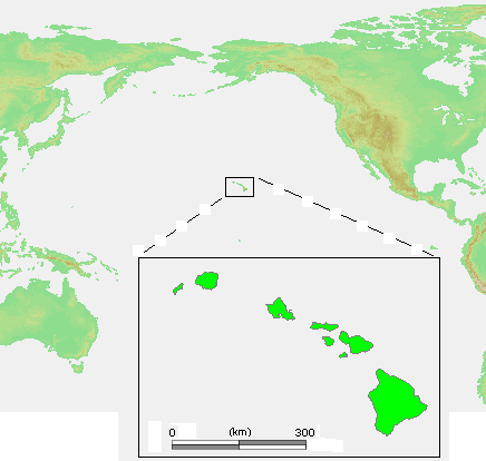
File:Hawaii Islands.PNG
此为最大尺寸。
Hawaii_Islands.PNG (436 × 414像素,文件大小:26 KB,MIME类型:image/png)
摘要

|
此locator map图片可使用矢量图形重新创建为SVG文件。这具有很多好处;更多信息请参见共享资源:待清理媒体。如果存在此图片的SVG格式,请将其上传,然后将此模板替换为
{{vector version available|新图片名称}}。
建议您将SVG命名为“Hawaii Islands.svg”,这样在使用Vector version available(或Vva)模板时就不需要填写新图片名称参数。 |
| 描述 | Hawaii Islands.PNG |
| 来源 | own work based on PD map |
| 作者 | edited by M.Minderhoud |
| 授权 (二次使用本文件) |
PD-demis |
| 其他版本 | 此文件衍生的作品: Hawaii Islands sm.PNG |
许可协议
This image is in the public domain because it came from the site https://www.demis.nl/products/web-map-server/examples/ and was released by the copyright holder. Permission is granted to copy, distribute and/or modify this map since it is based on free of copyright images from: www.demis.nl. See also approval email on de.wp and its clarification.
|
| This work has been released into the public domain by its copyright holder, www.demis.nl. This applies worldwide. 在一些国家这可能不合法;如果是这样的话,那么: www.demis.nl无条件地授予任何人以任何目的使用本作品的权利,除非这些条件是法律规定所必需的。
|
文件历史
点击某个日期/时间查看对应时刻的文件。
| 日期/时间 | 缩略图 | 大小 | 用户 | 备注 | |
|---|---|---|---|---|---|
| 当前 | 2006年7月23日 (日) 13:26 | | 436 × 414(26 KB) | Michiel1972 | {{Information |Description= {{subst:PAGENAME}} |Source= own work based on PD map |Date= |Author= edited by M.Minderhoud |Permission= {{PD-Demis}} |other_versions= }} category:Locator maps of islands |
文件用途
没有页面链接到本图像。
全域文件用途
以下其他wiki使用此文件:
- de.wikipedia.org上的用途
- en-two.iwiki.icu上的用途
- es.wikipedia.org上的用途
- et.wikipedia.org上的用途
- fr.wikipedia.org上的用途
- lt.wikipedia.org上的用途
- pl.wiktionary.org上的用途
- ru.wikibooks.org上的用途
- tt.wikipedia.org上的用途