
File:Iran Pakistan Locator.svg

此SVG文件的PNG预览的大小:175 × 126像素。 其他分辨率:320 × 230像素 | 640 × 461像素 | 1,024 × 737像素 | 1,280 × 922像素 | 2,560 × 1,843像素。
原始文件 (SVG文件,尺寸为175 × 126像素,文件大小:1.37 MB)
摘要
| 描述 |
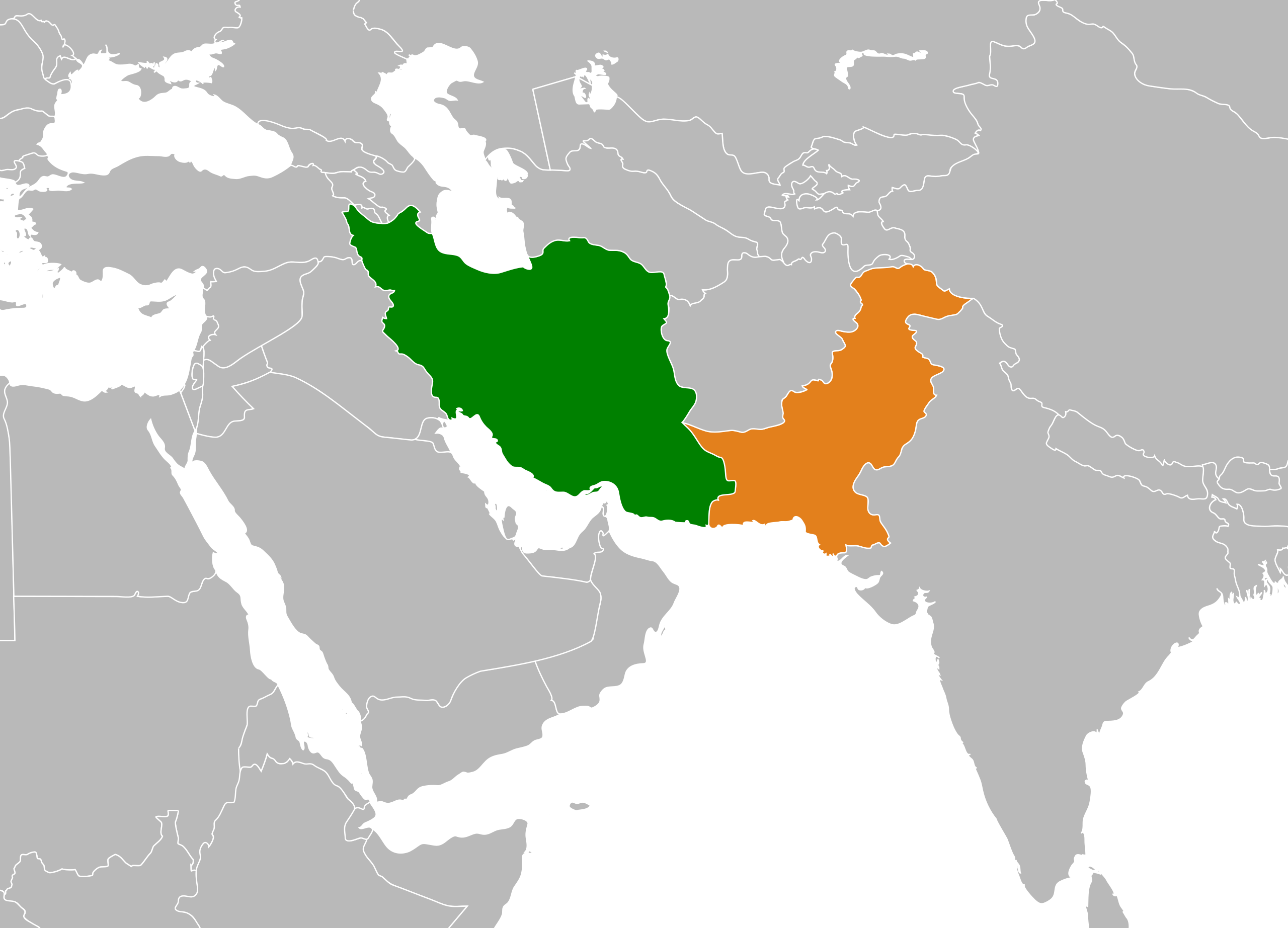
English: Map depicting the location of Pakistan and Iran. |
||
| 日期 | |||
| 来源 | Pakistan Myanmar Locator.svg | ||
| 作者 | Hogweard | ||
| 授权 (二次使用本文件) |
|
||
| 其他版本 | Iran Pakistan Locator.png |
文件历史
点击某个日期/时间查看对应时刻的文件。
| 日期/时间 | 缩略图 | 大小 | 用户 | 备注 | |
|---|---|---|---|---|---|
| 当前 | 2022年1月2日 (日) 16:28 | | 175 × 126(1.37 MB) | Hogweard | == {{int:filedesc}} == {{Information |Description={{en|1=Map depicting the location of Pakistan and Iran.}} |Source={{f|Pakistan Myanmar Locator.svg}} |Author={{u|Hogweard}} |Date=2022-01-02 |Permission={{PD-self}} |other_versions={{f|Iran Pakistan Locator.png}} }} Category:Bilateral maps of Iran Category:Bilateral maps of Pakistan |
文件用途
以下2个页面使用本文件:
全域文件用途
以下其他wiki使用此文件:
- az.wikipedia.org上的用途
- de.wikipedia.org上的用途
- en-two.iwiki.icu上的用途
- es.wikipedia.org上的用途
- fa.wikipedia.org上的用途
- he.wikipedia.org上的用途
- hy.wikipedia.org上的用途
- id.wikipedia.org上的用途
- incubator.wikimedia.org上的用途
- simple.wikipedia.org上的用途
- uz.wikipedia.org上的用途