
File:Oran Province narrow border.svg

此SVG文件的PNG预览的大小:800 × 535像素。 其他分辨率:320 × 214像素 | 640 × 428像素 | 1,024 × 685像素 | 1,280 × 856像素 | 2,560 × 1,711像素 | 1,255 × 839像素。
原始文件 (SVG文件,尺寸为1,255 × 839像素,文件大小:79 KB)
摘要
How to change this map. In Inkscape the window looks like this:To change a color of any municipality on this map, change fill color in window 1 . To change the borders go to the main menu, Edit>>Select All. Then Object>>Fill and Stroke. Then in window 2, x turns the borders off. The square turns the borders on. In window 2 the color of border can be changed like the fill color. In window 3 the width of the borders can be changed.

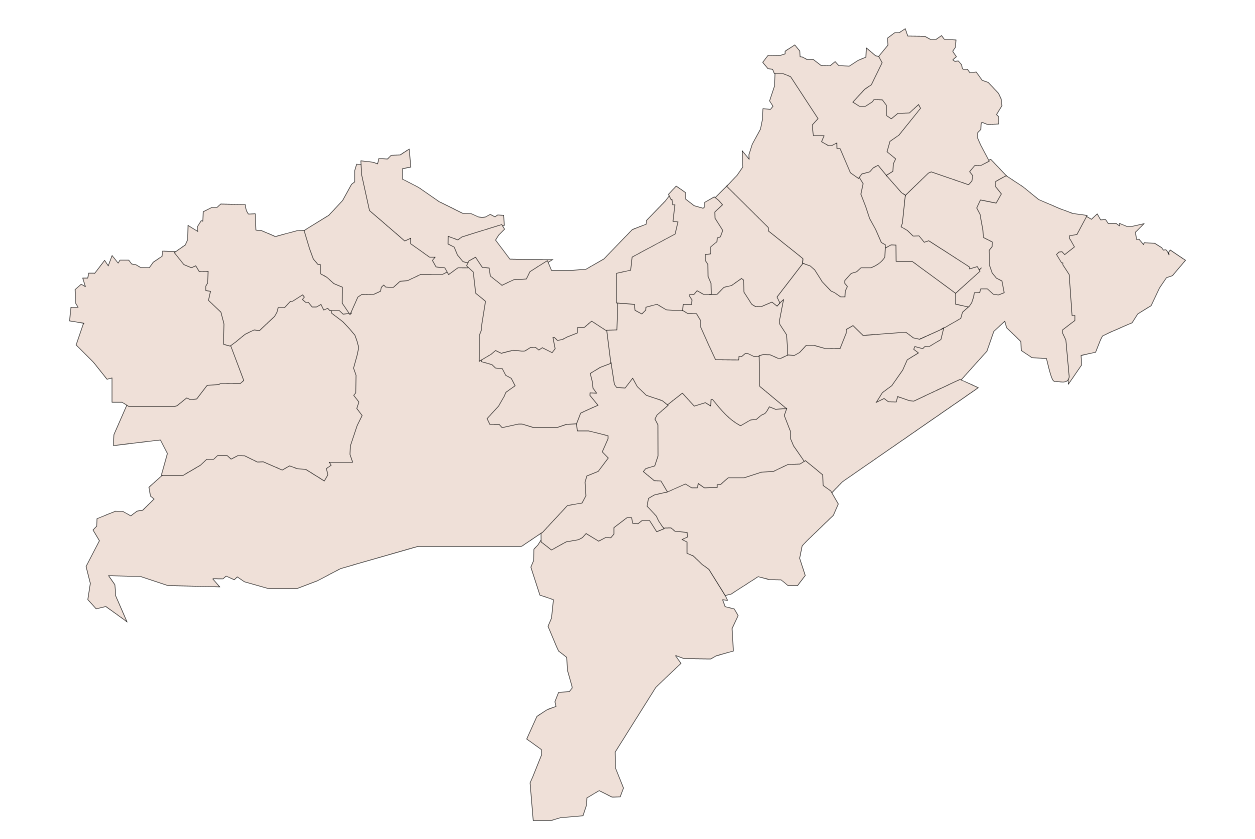
| 描述 | Oran Province, Algeria |
| 日期 | |
| 来源 | 自己的作品 |
| 作者 | Sagredo |
| 其他版本 |
此文件衍生的作品: |
许可协议
| 我,本作品著作权人,释出本作品至公有领域。这适用于全世界。 在一些国家这可能不合法;如果是这样的话,那么: 我无条件地授予任何人以任何目的使用本作品的权利,除非这些条件是法律规定所必需的。 |
文件历史
点击某个日期/时间查看对应时刻的文件。
| 日期/时间 | 缩略图 | 大小 | 用户 | 备注 | |
|---|---|---|---|---|---|
| 当前 | 2008年1月11日 (五) 04:22 | | 1,255 × 839(79 KB) | Sagredo | How to change this map. In Inkscape the window looks like this:To change a color of any municipality on this map, change fill color in window 1 . To change the borders go to the main menu, Edit>>Select All. Then Object>>Fill and Stroke. Then in window |
| 2008年1月11日 (五) 04:00 |  | 1,255 × 839(80 KB) | Sagredo | How to change this map. In Inkscape the window looks like this:To change a color of any municipality on this map, change fill color in window 1 . To change the borders go to the main menu, Edit>>Select All. Then Object>>Fill and Stroke. Then in window |
文件用途
没有页面链接到本图像。
全域文件用途
以下其他wiki使用此文件:
- en-two.iwiki.icu上的用途
- www.wikidata.org上的用途