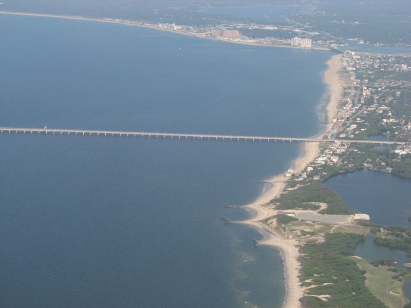
File:AerialviewoftheentrancetotheChesapeakeBayBridgeTunnel.jpg
外观
AerialviewoftheentrancetotheChesapeakeBayBridgeTunnel.jpg (800 × 600像素,文件大小:55 KB,MIME类型:image/jpeg)
文件历史
点击某个日期/时间查看对应时刻的文件。
| 日期/时间 | 缩略图 | 大小 | 用户 | 备注 | |
|---|---|---|---|---|---|
| 当前 | 2008年12月15日 (一) 01:02 |  | 800 × 600(55 KB) | File Upload Bot (Magnus Manske) | {{Information |Description= |Source=[http://www.flickr.com/photos/74376805@N00/511296815/ Chesapeake Bay Bridge Tunnel] * Uploaded by AlbertHerring |Date=May 21, 2007 at 05:37 |Author=[http://www.flickr.com/people/74376805@N00 Kev |
文件用途
以下页面使用本文件:
全域文件用途
以下其他wiki使用此文件:
- ar.wikipedia.org上的用途
- ast.wikipedia.org上的用途
- az.wikipedia.org上的用途
- bg.wikipedia.org上的用途
- ca.wikipedia.org上的用途
- ceb.wikipedia.org上的用途
- de.wikipedia.org上的用途
- en-two.iwiki.icu上的用途
- en.wikivoyage.org上的用途
- eo.wikipedia.org上的用途
- es.wikipedia.org上的用途
- eu.wikipedia.org上的用途
- he.wikipedia.org上的用途
- ms.wikipedia.org上的用途
- no.wikipedia.org上的用途
- sv.wikipedia.org上的用途
- uk.wikipedia.org上的用途
- ur.wikipedia.org上的用途
- www.wikidata.org上的用途


