
File:“Top Surface” tracksite (SGDS.18).png
預覽大小:306 × 599 像素。 其他解析度:122 × 240 像素 | 245 × 480 像素 | 392 × 768 像素 | 523 × 1,024 像素 | 1,967 × 3,853 像素。
原始檔案 (1,967 × 3,853 像素,檔案大小:942 KB,MIME 類型:image/png)
.png?uselang=zh-hant)
.png?uselang=zh-hant)
.png?action=history&uselang=zh-hant)
.png)
摘要
| 描述 |
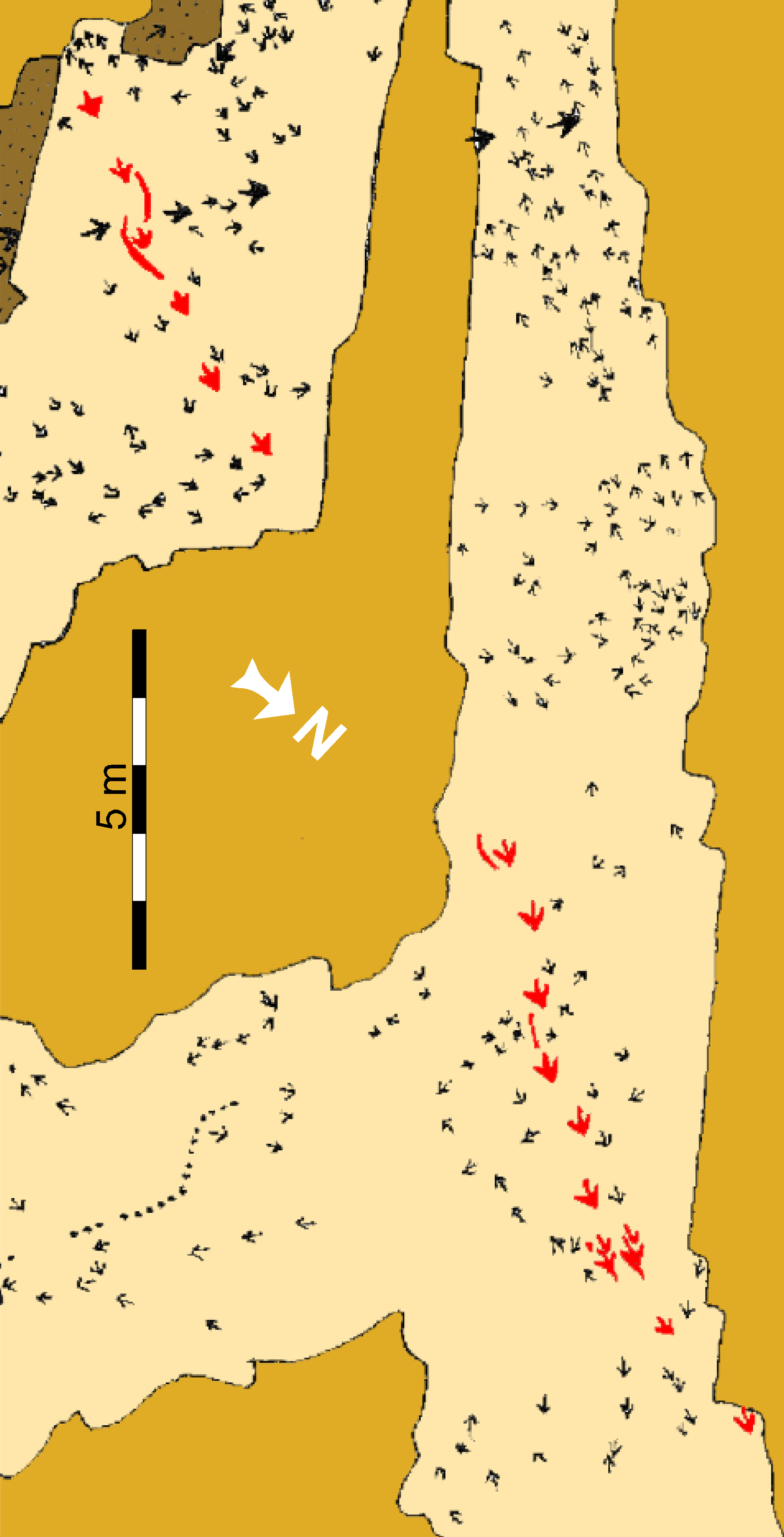
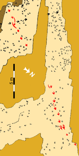
Schematic map of the “Top Surface” tracksite (SGDS.18). Beige shaded areas represent the “Top Surface” of the Main Track-bearing Sandstone Bed; gold shaded areas are unexcavated; brown areas represent areas removed after mapping to examine lower horizons. The Eubrontes trackway that includes the crouching trace is highlighted in red. |
||
| 日期 | |||
| 來源 | http://journals.plos.org/plosone/article?id=10.1371/journal.pone.0004591 | ||
| 作者 | Andrew R. C. Milner, Jerald D. Harris, Martin G. Lockley, James I. Kirkland, Neffra A. Matthews | ||
| 授權許可 (重用此檔案) |
|
檔案歷史
點選日期/時間以檢視該時間的檔案版本。
| 日期/時間 | 縮圖 | 尺寸 | 使用者 | 備註 | |
|---|---|---|---|---|---|
| 目前 | 2020年11月8日 (日) 05:12 | | 1,967 × 3,853(942 KB) | FunkMonk | Turned as in source. |
| 2019年6月18日 (二) 04:36 |  | 3,853 × 1,967(847 KB) | FunkMonk | {{Information |Description=Schematic map of the “Top Surface” tracksite (SGDS.18). Beige shaded areas represent the “Top Surface” of the Main Track-bearing Sandstone Bed; gold shaded areas are unexcavated; brown areas represent areas removed after mapping to examine lower horizons. The Eubrontes trackway that includes the crouching trace is highlighted in red. |Source=http://journals.plos.org/plosone/article?id=10.1371/journal.pone.0004591 |Date=2009 |Author=Andrew R. C. Milner, Jerald D. Ha... |
檔案用途
下列頁面有用到此檔案:
全域檔案使用狀況
以下其他 wiki 使用了這個檔案:
- en-two.iwiki.icu 的使用狀況
.png)