
File:Mount Kumotori User Domitori.jpg

預覽大小:800 × 600 像素。 其他解析度:320 × 240 像素 | 640 × 480 像素 | 1,024 × 768 像素 | 1,280 × 960 像素。
原始檔案 (1,280 × 960 像素,檔案大小:586 KB,MIME 類型:image/jpeg)
摘要
| 描述 |
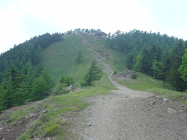
English: A summit of Mount Kumotori as seen from the Southeast.
looks as a goog glider launch, wide and grassy. As for the Landing Zone in vicinity... Sorry, only the river, I do not yet count with the photo. dima 14:27, 24 February 2007 (UTC) |
| 日期 | 2007年2月24日 (原始上傳日期) |
| 來源 | Transferred from en.wikipedia to Commons by Domitori. |
| 作者 | 原上傳者為英文維基百科的Domitori |
| 拍攝地點 | | 位於此地的本圖片與其他圖片: OpenStreetMap |
|---|
授權條款

|
本檔案的著作權持有者,在註明所有人姓名的前提下,允許任何人使用本檔案於任何用途。包含再散佈、衍生作品、商業用途及其他用途。 |
|
|
原始上傳日誌
The original description page was here. All following user names refer to en.wikipedia.
- 2007-02-24 14:24 Domitori 1280×960× (599725 bytes) Top of Kumotoriyama author: Dima
檔案歷史
點選日期/時間以檢視該時間的檔案版本。
| 日期/時間 | 縮圖 | 尺寸 | 使用者 | 備註 | |
|---|---|---|---|---|---|
| 目前 | 2010年9月29日 (三) 14:26 | | 1,280 × 960(586 KB) | Batholith | {{Information |Description={{en|Top of Kumotoriyama looks as a goog glider launch, wide and grassy. As for the Landing Zone in vicinity... Sorry, only the river, I do not yet count with the photo. dima 14:27, 24 February 2007 (UTC |
檔案用途
下列頁面有用到此檔案:
全域檔案使用狀況
以下其他 wiki 使用了這個檔案:
- en-two.iwiki.icu 的使用狀況
- ja-two.iwiki.icu 的使用狀況
- pnb.wikipedia.org 的使用狀況
- ru.wikipedia.org 的使用狀況