
File:Kingman-az-map.jpg
此為最大尺寸。
Kingman-az-map.jpg (575 × 425 像素,檔案大小:64 KB,MIME 類型:image/jpeg)
摘要
| 描述 | |
| 日期 | |
| 來源 | US Census |
| 作者 | US Census |
| 授權許可 (重用此檔案) |
US Government |
授權條款
This image or file is a work of a United States Census Bureau employee, taken or made as part of that person's official duties. As a work of the U.S. federal government, the image is in the public domain.
|
 |
原始上傳日誌
Transferred from en.wikipedia to Commons by Milicevic01 using CommonsHelper.
The original description page was here. All following user names refer to en.wikipedia.
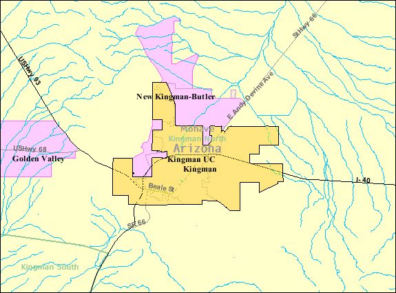
- 2009-01-13 16:13 Godheval 575×425× (65276 bytes) {{Information |Description=[[Kingman, Arizona]] |Source=US Census |Date=September 2008 |Author=US Census |Permission=US Government |other_versions= }}
檔案歷史
點選日期/時間以檢視該時間的檔案版本。
| 日期/時間 | 縮圖 | 尺寸 | 用戶 | 備註 | |
|---|---|---|---|---|---|
| 目前 | 2013年8月23日 (五) 19:57 | | 575 × 425(64 KB) | File Upload Bot (Magnus Manske) | Transfered from en.wikipedia by User:Milicevic01 using CommonsHelper |
檔案用途
下列頁面有用到此檔案:
全域檔案使用狀況
以下其他 wiki 使用了這個檔案:
- azb.wikipedia.org 的使用狀況
- en-two.iwiki.icu 的使用狀況
- ur.wikipedia.org 的使用狀況