
File:RIBay.JPG
預覽大小:405 × 600 像素。 其他解析度:162 × 240 像素 | 324 × 480 像素 | 691 × 1,023 像素。
原始檔案 (691 × 1,023 像素,檔案大小:425 KB,MIME 類型:image/jpeg)
摘要
| 描述 |
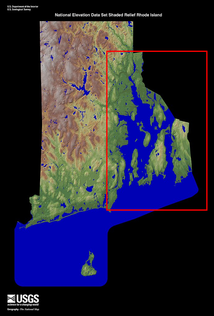
English: Shaded relief map of the state of en:Rhode Island with en:Narragansett Bay in red.. From the United States Geological Survey (USGS) |
| 來源 | http://edc.usgs.gov/imagegallery/collection.php?col=States+-+NED+Shaded+Relief Edited from en:Image:Rhode Island - NED500.jpg |
| 作者 |
授權條款
|
|
原始上傳日誌
The original description page was here. All following user names refer to en.wikipedia.
- 2007-12-19 16:10 Loodog 337×500×8 (33046 bytes) Shaded relief map of the state of [[Rhode Island]] with [[Narragansett Bay]] in red.. From the United States Geological Survey (USGS) Source: http://edc.usgs.gov/imagegallery/collection.php?col=States+-+NED+Shaded+Relief Edited from [[Image
檔案歷史
點選日期/時間以檢視該時間的檔案版本。
| 日期/時間 | 縮圖 | 尺寸 | 用戶 | 備註 | |
|---|---|---|---|---|---|
| 目前 | 2022年1月13日 (四) 03:49 | | 691 × 1,023(425 KB) | Usename9886 | Higher resolution version |
| 2008年3月12日 (三) 21:47 |  | 337 × 500(32 KB) | File Upload Bot (Magnus Manske) | {{BotMoveToCommons|en.wikipedia}} {{Information |Description={{en|Shaded relief map of the state of en:Rhode Island with en:Narragansett Bay in red.. From the United States Geological Survey (USGS) Source: http://edc.usgs.gov/imagegallery/colle |
檔案用途
下列頁面有用到此檔案:
全域檔案使用狀況
以下其他 wiki 使用了這個檔案:
- de.wikipedia.org 的使用狀況
- en-two.iwiki.icu 的使用狀況
- eo.wikipedia.org 的使用狀況
- es.wikipedia.org 的使用狀況
- fr.wikipedia.org 的使用狀況
- id.wikipedia.org 的使用狀況
- it.wikipedia.org 的使用狀況
- nl.wikipedia.org 的使用狀況
- pl.wikipedia.org 的使用狀況
- pt.wikipedia.org 的使用狀況
- ru.wikipedia.org 的使用狀況
- th.wikipedia.org 的使用狀況
- tr.wikipedia.org 的使用狀況
- uk.wikipedia.org 的使用狀況
- vi.wikipedia.org 的使用狀況