
File:Kingdom of Croatia.png
預覽大小:586 × 599 像素。 其他解析度:235 × 240 像素 | 470 × 480 像素 | 751 × 768 像素 | 1,218 × 1,245 像素。
原始檔案 (1,218 × 1,245 像素,檔案大小:152 KB,MIME 類型:image/png)
摘要
| 描述 |
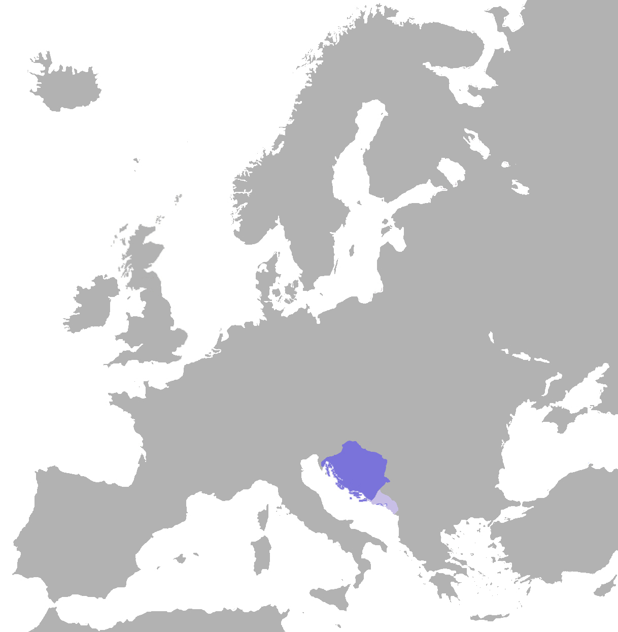
English: English: position of the croatian kingdom in europe (map) |
| 日期 | (UTC) |
| 來源 | |
| 作者 | Er-vet-en (talk) |
授權條款
| 我,此作品的版權所有人,釋出此作品至公共領域。此授權條款在全世界均適用。 這可能在某些國家不合法,如果是的話: 我授予任何人有權利使用此作品於任何用途,除受法律約束外,不受任何限制。 |
原始上傳日誌
The original description page was here. All following user names refer to en.wikipedia.
| Upload date | User | Bytes | Dimensions | Comment |
|---|---|---|---|---|
| 2009-11-20 17:58:04 | Er-vet-en | 57804 | 1218×1245 | {{Information |Description = English: position of the croatian kingdom in europe (map) |Source = Made by (~~~); |Date = ~~~~~ |Author = ~~~ |other_versions = }} |
授權條款
此檔案採用共享創意 姓名標示-相同方式分享 3.0 未在地化版本授權條款。
- 您可以自由:
- 分享 – 複製、發佈和傳播本作品
- 重新修改 – 創作演繹作品
- 惟需遵照下列條件:
- 姓名標示 – 您必須指名出正確的製作者,和提供授權條款的連結,以及表示是否有對內容上做出變更。您可以用任何合理的方式來行動,但不得以任何方式表明授權條款是對您許可或是由您所使用。
- 相同方式分享 – 如果您利用本素材進行再混合、轉換或創作,您必須基於如同原先的相同或兼容的條款,來分布您的貢獻成品。
原始上傳日誌
The original description page was here. All following user names refer to en.wikipedia.
- 2011-07-17 12:16 Er-vet-en 1218×1245× (161088 bytes)
- 2011-07-17 12:15 Er-vet-en 1218×1245× (161088 bytes)
- 2009-11-20 17:58 Er-vet-en 1218×1245× (57804 bytes) {{Information |Description = English: position of the croatian kingdom in europe (map) |Source = Made by (~~~); |Date = ~~~~~ |Author = ~~~ |other_versions = }}
檔案歷史
點選日期/時間以檢視該時間的檔案版本。
| 日期/時間 | 縮圖 | 尺寸 | 用戶 | 備註 | |
|---|---|---|---|---|---|
| 目前 | 2019年11月4日 (一) 12:49 | | 1,218 × 1,245(152 KB) | Ceha | Corrected border in Istria, Dubrovnik and Kotor, and added vasal territoiries, Zahumlje, Travunja and Duklja |
| 2012年9月7日 (五) 18:54 |  | 1,218 × 1,245(157 KB) | OgreBot | (BOT): Uploading old version of file from en.wikipedia; originally uploaded on 2011-07-17 12:15:38 by Er-vet-en | |
| 2012年9月7日 (五) 18:54 |  | 1,218 × 1,245(56 KB) | OgreBot | (BOT): Uploading old version of file from en.wikipedia; originally uploaded on 2009-11-20 17:58:04 by Er-vet-en | |
| 2010年2月16日 (二) 18:59 |  | 586 × 599(72 KB) | Litany~commonswiki | {{BotMoveToCommons|en.wikipedia|year={{subst:CURRENTYEAR}}|month={{subst:CURRENTMONTHNAME}}|day={{subst:CURRENTDAY}}}} == Summary == {{Information |Description = {{en|English: position of the croatian kingdom in europe (map)}} |Source = {{en |Made by ([[ |
檔案用途
下列頁面有用到此檔案:
全域檔案使用狀況
以下其他 wiki 使用了這個檔案:
- ar.wikipedia.org 的使用狀況
- azb.wikipedia.org 的使用狀況
- az.wikipedia.org 的使用狀況
- be.wikipedia.org 的使用狀況
- bg.wikipedia.org 的使用狀況
- ca.wikipedia.org 的使用狀況
- cs.wikipedia.org 的使用狀況
- en-two.iwiki.icu 的使用狀況
- es.wikipedia.org 的使用狀況
- et.wikipedia.org 的使用狀況
- fa.wikipedia.org 的使用狀況
- fr.wikipedia.org 的使用狀況
- gl.wikipedia.org 的使用狀況
- he.wikipedia.org 的使用狀況
- hr.wikipedia.org 的使用狀況
- it.wikipedia.org 的使用狀況
- ja-two.iwiki.icu 的使用狀況
- ko.wikipedia.org 的使用狀況
- la.wikipedia.org 的使用狀況
- lt.wikipedia.org 的使用狀況
- mk.wikipedia.org 的使用狀況
- nl.wikipedia.org 的使用狀況
- pl.wikipedia.org 的使用狀況
- pt.wikipedia.org 的使用狀況
- ru.wikipedia.org 的使用狀況
- sh.wikipedia.org 的使用狀況
- simple.wikipedia.org 的使用狀況
- sk.wikipedia.org 的使用狀況
- sl.wikipedia.org 的使用狀況
- sv.wikipedia.org 的使用狀況
- tr.wikipedia.org 的使用狀況
- uk.wikipedia.org 的使用狀況
- ur.wikipedia.org 的使用狀況
- www.wikidata.org 的使用狀況