
File:Australia Capital Territory location map.svg

此 SVG 檔案的 PNG 預覽的大小:414 × 600 像素。 其他解析度:166 × 240 像素 | 331 × 480 像素 | 530 × 768 像素 | 707 × 1,024 像素 | 1,414 × 2,048 像素 | 477 × 691 像素。
原始檔案 (SVG 檔案,表面大小:477 × 691 像素,檔案大小:272 KB)
| 描述 |
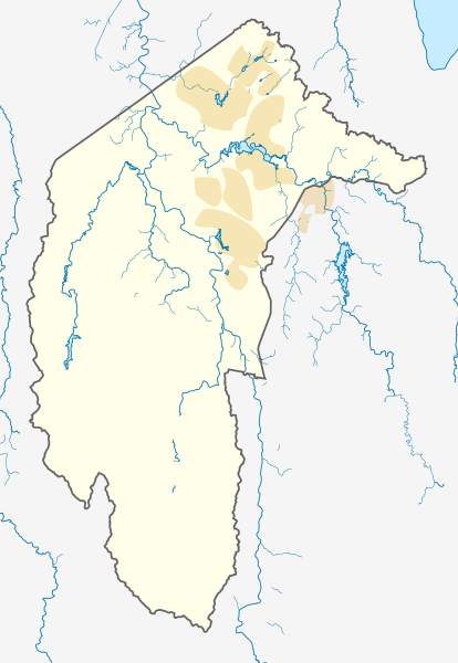
Deutsch: Positionskarte des Australian Capital Territory, Australien.
Mercator-Projektion. Geographische Begrenzungen der Karte:
English: Location map of the Australian Capital Territory, Australia.
Mercator projection. Geographic limits of the map:
|
|||
| 日期 |
Original Version: 2012-12-19 |
|||
| 來源 | 自己的作品, using OpenStreetMap data. Urban areas redrawn using OpenStreetMap data current at date above. | |||
| 作者 |
Original Version: Carport |
|||
| 授權許可 (重用此檔案) |
此檔案採用創用CC 姓名標示-相同方式分享 3.0 未在地化版本授權條款。
|
檔案歷史
點選日期/時間以檢視該時間的檔案版本。
| 日期/時間 | 縮圖 | 尺寸 | 使用者 | 備註 | |
|---|---|---|---|---|---|
| 目前 | 2013年6月2日 (日) 09:39 | | 477 × 691(272 KB) | Nbound | Back to more neutral colours |
| 2013年6月2日 (日) 09:31 |  | 477 × 691(272 KB) | Nbound | Redraw urban areas | |
| 2012年12月19日 (三) 20:57 |  | 477 × 691(274 KB) | Carport | {{Information |Description={{de|1=Positionskarte des {{w|Australian Capital Territory|3=de}}, {{w|Australien|3=de}}. Mercator-Projektion. Geographische Begrenzungen der Karte: * N: 35.1° S * S: 35.96° S * W: 148.72° O * O: 149.45° O }} [[Category... |
檔案用途
下列22個頁面有用到此檔案:
- 克雷斯 (澳大利亚首都特区)
- 凯西 (澳大利亚首都特区)
- 哈里森 (澳大利亚首都特区)
- 坎培拉機場
- 富兰克林 (澳大利亚首都特区)
- 尼科尔斯 (澳大利亚首都特区)
- 帕默斯顿 (澳大利亚首都特区)
- 恩古纳瓦尔 (澳大利亚首都特区)
- 斯罗斯比 (澳大利亚首都特区)
- 杰卡 (澳大利亚首都特区)
- 格林威 (澳大利亚首都領地)
- 泰勒 (澳大利亚首都特区)
- 澳洲戰爭紀念館
- 甘加林 (澳大利亚首都特区)
- 福德 (澳大利亚首都特区)
- 米切尔 (澳大利亚首都特区)
- 肯尼 (澳大利亚首都特区)
- 蒙克里夫 (澳大利亚首都特区)
- 邦纳 (澳大利亚首都特区)
- 阿马鲁 (澳大利亚首都特区)
- 霍尔 (澳大利亚首都特区)
- 韋斯頓灣
全域檔案使用狀況
以下其他 wiki 使用了這個檔案:
- af.wikipedia.org 的使用狀況
- bg.wikipedia.org 的使用狀況
- bn.wikipedia.org 的使用狀況
- ceb.wikipedia.org 的使用狀況
- de.wikipedia.org 的使用狀況
- Canberra
- Black Mountain Tower
- Flughafen Canberra
- Yarralumla
- Kaleen (Stadtteil)
- Mount Majura
- Mount Taylor (Australien)
- Mount Ainslie
- Black Mountain (Australian Capital Territory)
- Lake Burley Griffin
- Capital Hill
- Lake Ginninderra
- Lake Tuggeranong
- Canberra Stadium
- Mount Stromlo
- National Zoo and Aquarium
- Manuka Oval
- Giralang
- Vorlage:Infobox Stausee
- Vorlage:Infobox Stausee/Doku
- Wikipedia:Kartenwerkstatt/Positionskarten/Australien und Ozeanien
- Vorlage:Infobox Ort in Australien
- Vorlage:Infobox Ort in Australien/Doku
- Vorlage:Positionskarte Australien Capital Territory
- Benutzer:Rr2000/Vorlagentest Ort in Australien
- Bimberi Peak
- Mount Franklin (Australian Capital Territory)
- Strathnairn
- en-two.iwiki.icu 的使用狀況
- Namadgi National Park
- Tidbinbilla Nature Reserve
- Fyshwick, Australian Capital Territory
- Mount Ainslie
- Lake Burley Griffin
- Molonglo River
- Acton, Australian Capital Territory
- Weston, Australian Capital Territory
- Civic, Australian Capital Territory
- Yarralumla, Australian Capital Territory
- Deakin, Australian Capital Territory
- Black Mountain (Australian Capital Territory)
- Campbell, Australian Capital Territory
- Reid, Australian Capital Territory
- Canberra Airport
- Braddon, Australian Capital Territory
檢視此檔案的更多全域使用狀況。