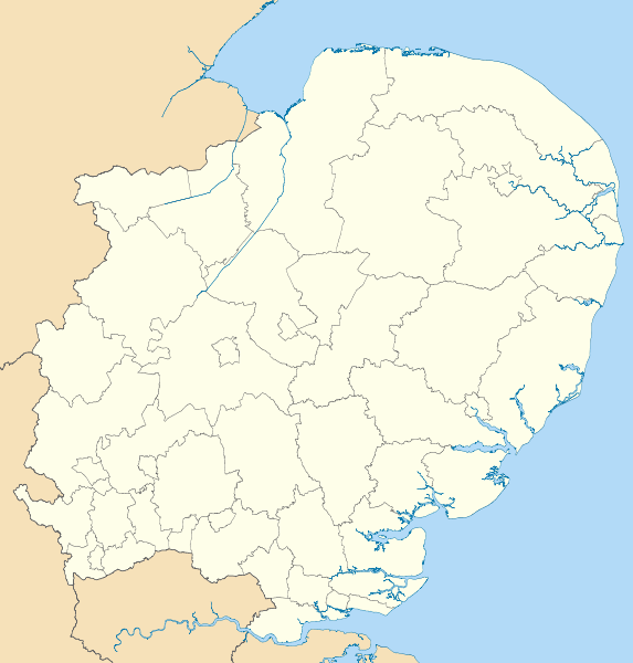
File:East of England districts 2011 map.svg
外觀

此 SVG 檔案的 PNG 預覽的大小:573 × 600 像素。 其他解析度:229 × 240 像素 | 459 × 480 像素 | 734 × 768 像素 | 979 × 1,024 像素 | 1,957 × 2,048 像素 | 1,210 × 1,266 像素。
原始檔案 (SVG 檔案,表面大小:1,210 × 1,266 像素,檔案大小:2.14 MB)
檔案歷史
點選日期/時間以檢視該時間的檔案版本。
| 日期/時間 | 縮圖 | 尺寸 | 使用者 | 備註 | |
|---|---|---|---|---|---|
| 目前 | 2011年5月1日 (日) 18:51 |  | 1,210 × 1,266(2.14 MB) | Nilfanion | {{Information |Description=Map of the East of England region showing the administrative districts. Equirectangular map projection on WGS 84 datum, with N/S stretched 160% Geographic limits: *West: 0.8W *East: 1.8E *North: 53.1N *So |
檔案用途
下列2個頁面有用到此檔案:
全域檔案使用狀況
以下其他 wiki 使用了這個檔案:
- ar.wikipedia.org 的使用狀況
- en-two.iwiki.icu 的使用狀況
- Cambridge
- East of England
- Luton
- Ipswich
- Thurrock
- Norwich
- Huntingdonshire
- Southend-on-Sea
- Welwyn Hatfield
- Stevenage
- Harlow
- Watford
- King's Lynn and West Norfolk
- City of St Albans
- City of Peterborough
- South Cambridgeshire
- East Cambridgeshire
- Fenland District
- Castle Point
- Uttlesford
- Tendring District
- Hertsmere
- Borough of Broxbourne
- East Hertfordshire
- North Hertfordshire
- Dacorum
- South Norfolk
- Broadland
- Breckland District
- North Norfolk
- Mid Suffolk
- Babergh District
- Template:East of England
- Borough of Bedford
- Braintree District
- City of Colchester
- Epping Forest District
- Borough of Basildon
- Maldon District
- Borough of Great Yarmouth
- Rochford District
- City of Chelmsford
- Borough of Brentwood
- Three Rivers District
- User:Mwphoto/Watford
- User:Phildav76/Regional templates
- Old Harlow
- 2006–07 Isthmian League
檢視此檔案的更多全域使用狀況。


