
File:Ireland United Kingdom Locator.png
預覽大小:656 × 600 像素。 其他解析度:263 × 240 像素 | 525 × 480 像素 | 840 × 768 像素 | 1,270 × 1,161 像素。
原始檔案 (1,270 × 1,161 像素,檔案大小:95 KB,MIME 類型:image/png)
摘要
| 描述 |
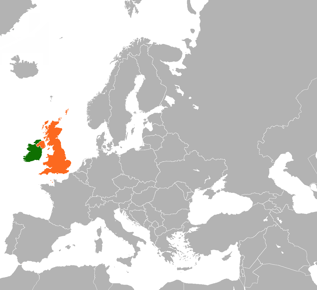
English: Map of Europe indicating the United Kingdom and Republic of Ireland. |
| 日期 | |
| 來源 |
自己的作品 Based on File:BlankMap-World-v5.png |
| 作者 | Dancingwombatsrule |
授權條款
Dancingwombatsrule at the English Wikipedia,此作品的版權所有人,決定用以下授權條款發佈本作品:

|
已授權您依據自由軟體基金會發行的無固定段落、封面文字和封底文字GNU自由文件授權條款1.2版或任意後續版本,對本檔進行複製、傳播和/或修改。該協議的副本列在GNU自由文件授權條款中。 |
| 此檔案採用創用CC 姓名標示-相同方式分享 3.0 未在地化版本授權條款。 | ||
| 姓名標示: Dancingwombatsrule at the English Wikipedia | ||
| ||
| 已新增授權條款標題至此檔案,作為GFDL授權更新的一部份。 |
原始上傳日誌
The original description page was here. All following user names refer to en.wikipedia.
- 2011-03-19 13:15 Rannpháirtí anaithnid 450×422× (15027 bytes) Reverted to version as of 10:54, 29 August 2010
- 2011-03-13 20:23 Gavin Lisburn 450×422× (11617 bytes) Reverted to version as of 10:50, 29 August 2010
- 2011-03-13 20:22 Gavin Lisburn 450×422× (11617 bytes) Reverted to version as of 10:50, 29 August 2010; pink is the usual colour in maps & atlases to represent the UK, Dominions etc.
- 2010-08-29 10:54 Mabuska 450×422× (15027 bytes) Reverted to version as of 17:47, 21 November 2007 - turns out world-wide standard colours
- 2010-08-29 10:50 Mabuska 450×422× (11617 bytes) Recoloured Ireland and the United Kingdom to match the newer Ireland county maps better, which also have more neutral and less strong colours
- 2007-11-21 17:47 Dancingwombatsrule 450×422× (15027 bytes) '''Description:''' Map of the world indicating the United Kingdom and Republic of Ireland. For use in [[Anglo-Irish relations]] and similar articles. '''Source:''' Own work based on Image:BlankMap-World-v5.png '''Date:''' 19th July 2007 '''Author:''' [
檔案歷史
點選日期/時間以檢視該時間的檔案版本。
| 日期/時間 | 縮圖 | 尺寸 | 使用者 | 備註 | |
|---|---|---|---|---|---|
| 目前 | 2023年5月28日 (日) 22:57 | | 1,270 × 1,161(95 KB) | Aquintero82 | Updated map |
| 2013年5月25日 (六) 17:28 |  | 450 × 422(15 KB) | Dmcq | Reverted to version as of 22:52, 6 May 2013: Sorry I see it is some stupid MOS standard | |
| 2013年5月25日 (六) 17:23 |  | 450 × 422(11 KB) | Dmcq | Reverted to version as of 03:02, 16 January 2012: use more standard colours | |
| 2013年5月25日 (六) 17:22 |  | 450 × 422(11 KB) | Dmcq | Reverted to version as of 03:02, 16 January 2012 | |
| 2013年5月6日 (一) 22:52 |  | 450 × 422(15 KB) | Chipmunkdavis | Reverted to version as of 03:02, 16 January 2012 Circling all the microstates puts an emphasis on them, which is not the point of this map | |
| 2013年5月6日 (一) 22:04 |  | 450 × 422(20 KB) | Britannic124 | More standard image. | |
| 2012年1月16日 (一) 03:02 |  | 450 × 422(15 KB) | OgreBot | (BOT): Reverting to most recent version before archival | |
| 2012年1月16日 (一) 03:02 |  | 450 × 422(11 KB) | OgreBot | (BOT): Uploading old version of file from en.wikipedia; originally uploaded on 2010-08-29 10:50:15 by Mabuska | |
| 2012年1月15日 (日) 04:53 |  | 450 × 422(15 KB) | File Upload Bot (Magnus Manske) | {{BotMoveToCommons|en.wikipedia|year={{subst:CURRENTYEAR}}|month={{subst:CURRENTMONTHNAME}}|day={{subst:CURRENTDAY}}}} {{Information |Description={{en|'''Description:''' Map of the world indicating the United Kingdom and Republic of Ireland. For use in [ |
檔案用途
下列頁面有用到此檔案:
全域檔案使用狀況
以下其他 wiki 使用了這個檔案:
- ar.wikipedia.org 的使用狀況
- de.wikipedia.org 的使用狀況
- en-two.iwiki.icu 的使用狀況
- es.wikipedia.org 的使用狀況
- fa.wikipedia.org 的使用狀況
- fr.wikipedia.org 的使用狀況
- he.wikipedia.org 的使用狀況
- ja-two.iwiki.icu 的使用狀況
- pt.wikipedia.org 的使用狀況
- ru.wikipedia.org 的使用狀況
- uk.wikipedia.org 的使用狀況
- www.wikidata.org 的使用狀況