
File:NTS test preparation4.jpg
預覽大小:752 × 600 像素。 其他解析度:301 × 240 像素 | 602 × 480 像素 | 963 × 768 像素 | 1,280 × 1,021 像素 | 1,467 × 1,170 像素。
原始檔案 (1,467 × 1,170 像素,檔案大小:261 KB,MIME 類型:image/jpeg)
摘要
| 描述 |
Español: Preparativos para una prueba nuclear subterránea en el NTS (Nevada).
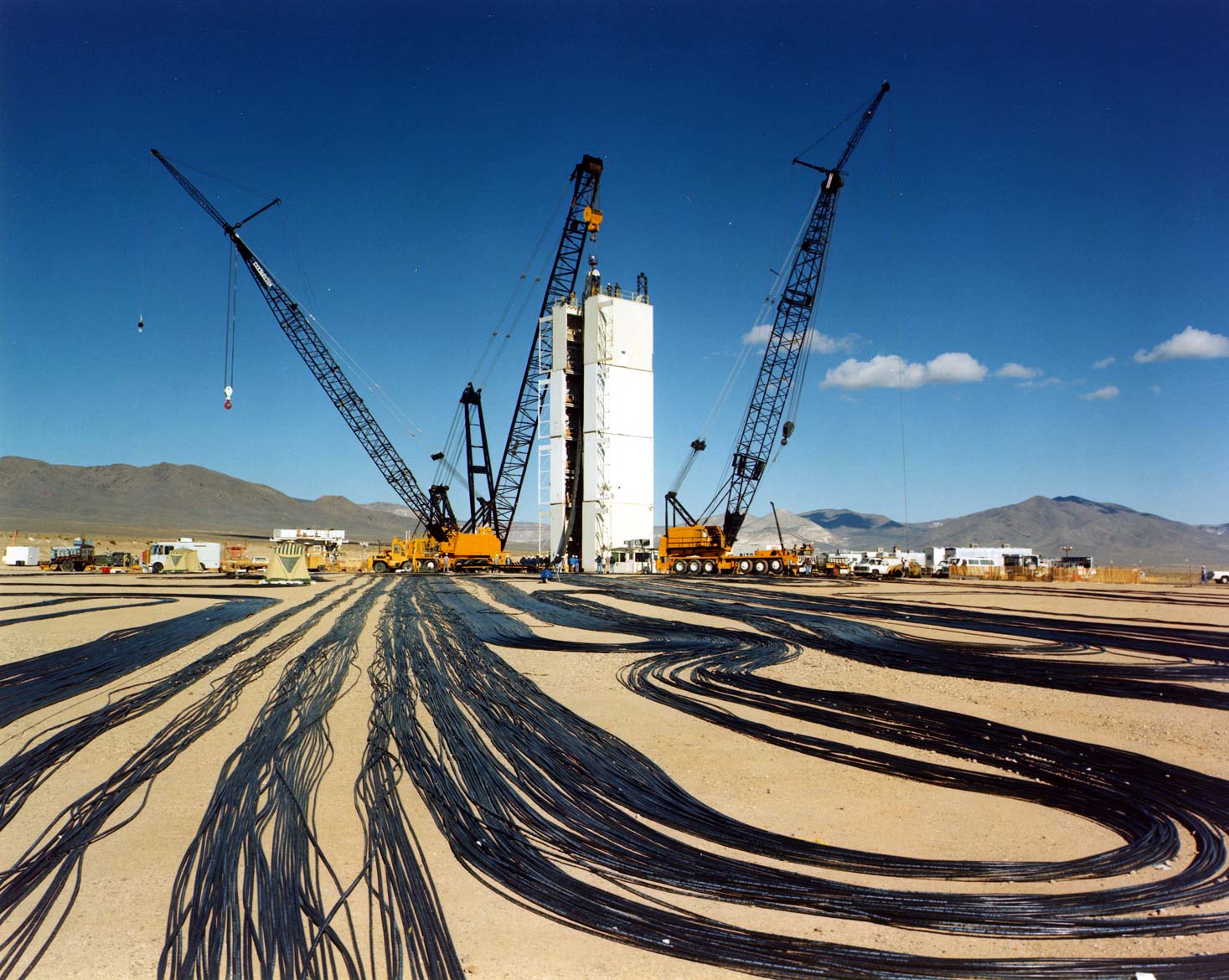
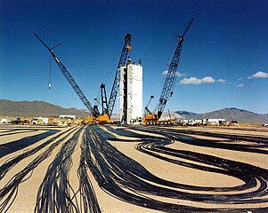
English: Preparing for an underground test at the Nevada Test Site. Temporary modular tower designed to hold the diagnostic rack for Icecap. |
||||||
| 來源 |
|
||||||
| 作者 | Federal Government of the United States | ||||||
| 授權許可 (重用此檔案) |
|
||||||

| 目標地點 | | 位於此地的本圖片與其他圖片: OpenStreetMap |
|---|
檔案歷史
點選日期/時間以檢視該時間的檔案版本。
| 日期/時間 | 縮圖 | 尺寸 | 使用者 | 備註 | |
|---|---|---|---|---|---|
| 目前 | 2006年1月4日 (三) 01:38 | | 1,467 × 1,170(261 KB) | Fastfission~commonswiki | :''Signal cables are laid out at a test location on Yucca Flat, the principal underground nuclear weapons testing area at NTS. Cranes will lower the cable down-hole with the weapons canister. The cables will relay scientific data to recording trailersat t |
檔案用途
下列頁面有用到此檔案:
全域檔案使用狀況
以下其他 wiki 使用了這個檔案:
- ar.wikipedia.org 的使用狀況
- en-two.iwiki.icu 的使用狀況
- es.wikipedia.org 的使用狀況
- fr.wikipedia.org 的使用狀況
- id.wikipedia.org 的使用狀況
- nl.wikipedia.org 的使用狀況
- vi.wikipedia.org 的使用狀況
- www.wikidata.org 的使用狀況