
博泰蒂河

博泰蒂河是博茨瓦納的河流,位於該國北部,處於奧卡萬戈三角洲,河道全長1,700公里,河口處在馬翁,該河下流地區在20世紀早期和中期是主要的糧食產區。
參考資料[編輯]
- Johannesburg Sheet 34, Edition 5, TPC, 1970 (頁面存檔備份,存於網際網路檔案館), Series 2201, U.S. Army Map Service
- https://www.un.org/Depts/Cartographic/map/profile/okavango.pdf (頁面存檔備份,存於網際網路檔案館)
- Hogan, C. Michael (2008) "Makgadikgadi" (頁面存檔備份,存於網際網路檔案館) at Burnham, A. (editor) The Megalithic Portal
- Boteti River (頁面存檔備份,存於網際網路檔案館) (n.d.). In Encyclopædia Britannica online. Retrieved 28 Jan 2019
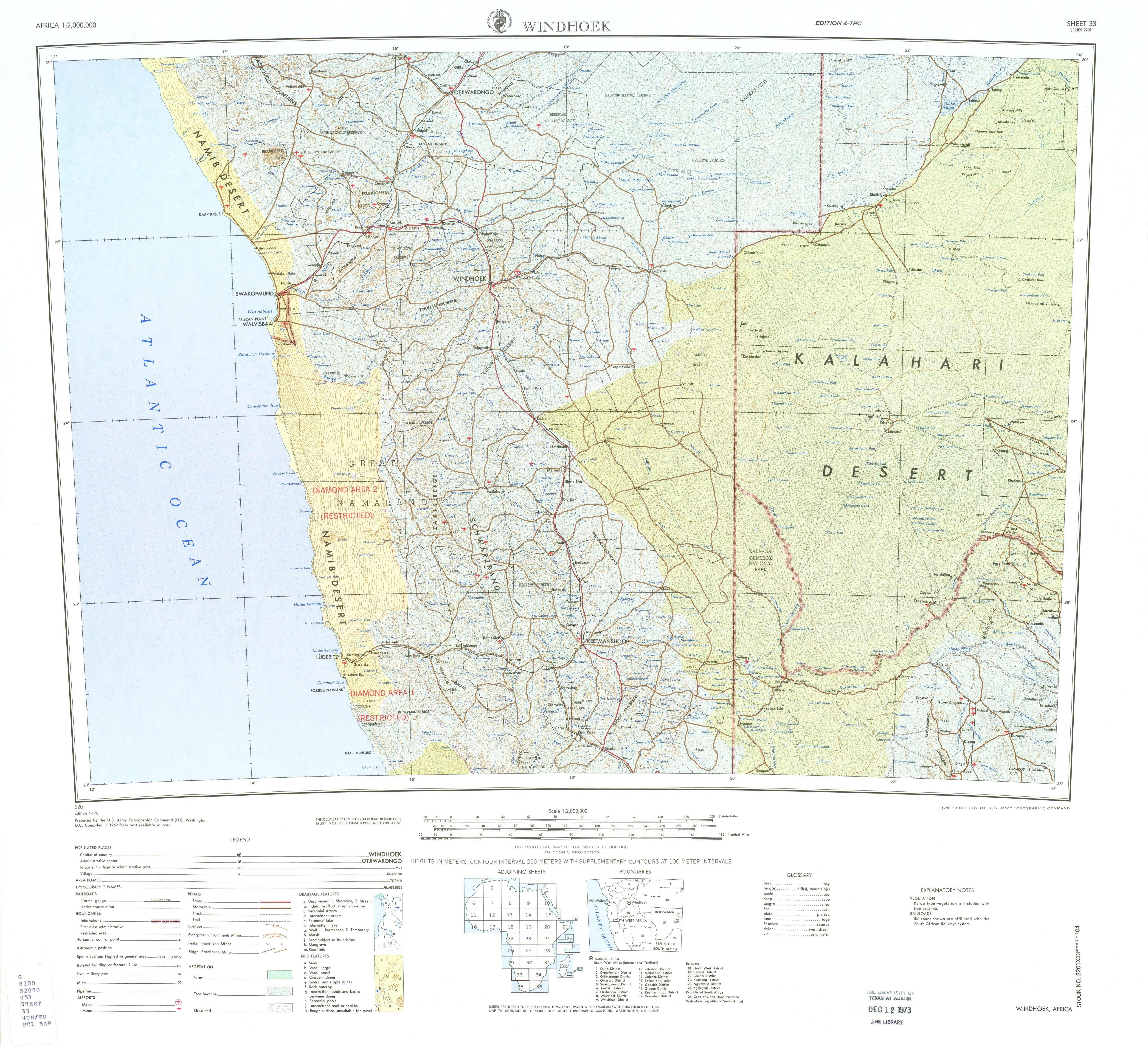
- Windhoek Sheet 33, Edition 4, TPC, 1969 (頁面存檔備份,存於網際網路檔案館), Series 2201, U.S. Army Map Service
- Scudder, T. (1993) The IUCN review of the Southern Okavango Integrated Water Development Project International Union for Conservation of Nature and Natural Resources (IUCN), Gland, Switzerland, page 90 (頁面存檔備份,存於網際網路檔案館)
| 這是一篇博茨瓦納地理小作品。您可以透過編輯或修訂擴充其內容。 |